Hello.
My name is Nate. After having my plans of hiking the South Cross-Island Highway and Jiaming Lake utterly shutdown, I have been fiending for another extended backpacking trip. Dragonboat weekend makes for the perfect opportunity. Having already been to Wulai and hiked a fair bit of the Jiao Jiu Liao trail, I decided to combine what I know with a few highly recommended hikes from the new Lonely Planet guide. These include Beichatianshan in Manyueyuan FRA, Jiao Jiu Liao to Wulai, and the Fuba trail from Fushan to Baling. Here is the exact itinerary…
Saturday
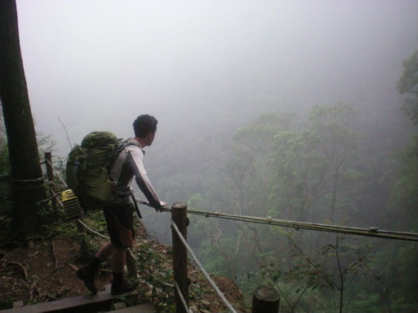
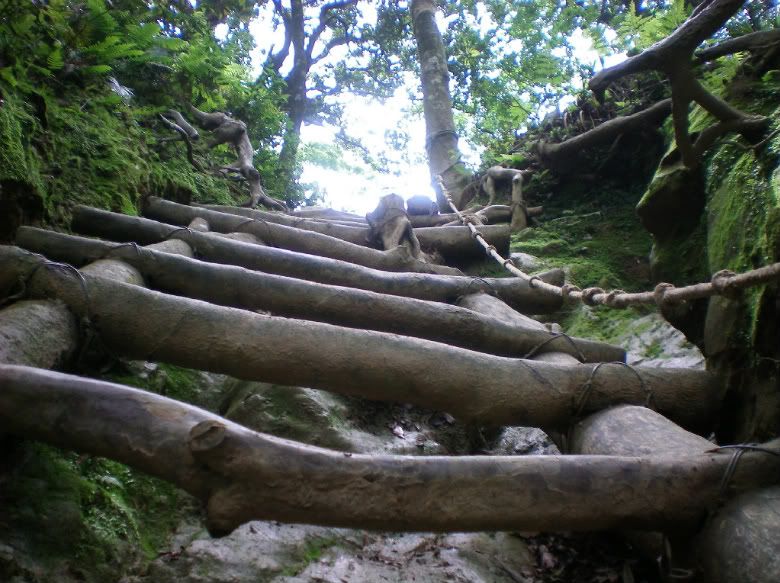
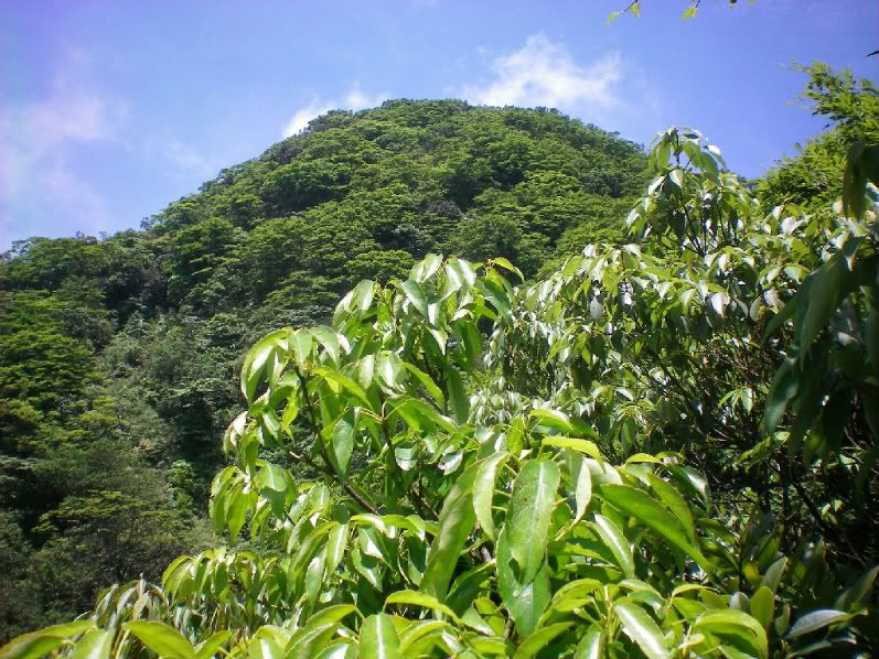
I get off work in Danshui at 12:30. I am on the MRT by 1. I arrive at Yongming Station by 1:30. I take the bus to Sansia and arrive by 2. I meet my friend, who lives in Jhongli, in Sansia, and we leave for Manyueyuan FRA some time between 2 and 3. We get on the trail around 4-5pm and get in as many kilometers as we can. Supposedly there is a great camping spot somewhere near the base of Beichatianshan. A fair bit of elevation gain, but only about 5-6 km’s. I haven’t had the time to track down Richard’s Taipei Day Hikes… any info on how to find those giant cedars?
Sunday
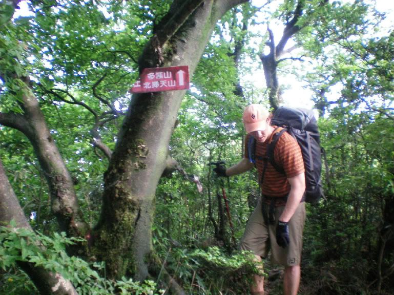
According to my Sun River map (printed 2003, I think) there is a trail that connects Beichatianshan to Jiao Jiu Liao trail. I can confirm from personal experience that, from the peak (don’t know the name) southwest of the hiker’s hut on the Jiao Jiu Liao trail four km’s from Wulai, that a trail marked with regular flags travels west towards Manyueyuan. It basically traverses the ridgeline for 18km in a fairly straight NE/SW trajectory. We stay the night in the hiker’s hut.
Monday
The transition day. We will hike down to Wulai, only 3-4 km’s or so, and have some lunch. Maybe have a soak in the hot springs. When we’re feeling antsy, we’ll jump on Road 107 towards Fushan and start walking. Hopefully (undoubtedly) someone will pick us up and take us to Fushan. Here we register at the police station, maybe lollygag a little bit, then get going on the Fuba trail towards Lalashan and Baling. Hopefully we will get in 6-8 km’s before we stop to make camp. Apparently campsites abound.
Tuesday
The last big push. If we’ve gotten a fair chunk done the day before, we will have the opportunity to detour up Lalashan, and admire the beauty of the giant cypress trees. What we do in Baling will depend on when we arrive and what our transportation situation is. Supposedly there is one bus (according to Google) that leaves Baling at 6:30am for Taoyuan. This will obviously be too early, and really throw a wrench in our plans if it is the only option. There seems to be another bus, but the Taoyuan bus website is down, and Google doesn’t have an arrival/departure time for this other bus. We could hitchhike and/or taxi from here, but I have no idea how realistic either of these are. Any ideas? Suggestions?
So…
I’ll post lots of pictures and a trip report when all is completed. If anybody has any information to share about these specific hikes, or alternative routes to suggest, I am perfectly open. The purpose of this post, I suppose, is to get some feedback from anyone who has any knowledge of any of these areas… the conditions, the requirements for access, what we may see, things we should plan for, etc. And go!