I make quite a bit of a hobby out of following tributaries of the Danshui up and down mountains and describing my experiences, impressions etc. They are at Taiwan Trek (Taiwan Trek - Taiwan and Asia Guide to Hikes and Adventures) now under the name “Danshui River System”.
It’s a bit addictive honestly. Like looking at one of those infinite pattern computer generating systems.
Sometimes I feel guilty that I’m not posting anything in the “a? river” thread here at forumosa.
Perhaps I’ll really try to do this one though. It sounds a bit crazy at first glance but actually you can follow it from xinsheng almost to zhongxiao no problem.
It pops up again across from Daan park and then again at Wenzhou and lane 48.
Then from xindian you can follow it back some distance from xindian station.
I could just go look at it and fill in the blanks where possible. Try to write up some reasonable history of the system in English.
The canal has branches and more than one source but that is a problem with every system. In the end you just choose one main course, or one of the most interesting or easiest to get to and go with it.
Thanks but I’m really just sharing the wealth of information now available in Chinese on ZH.wikipedia and local history sites.
Liugongjun does not mean public canal. It means Lord Liu’s Irrigation Canal. Or Old Man Liu’s Irrigation Canal. Liu refers to
Guo Xiliu 郭錫瑠, who built the first canal in 1740. According to Wikipedia, Liu was born in Zhangzhou (Fujian) in 1705 and emigrated to Taiwan as a child. In 1736 he and other members of his clan from Zhangzhou moved north to settle and cultivate the Zhonglun (中崙) area of Taipei (now the Bade Rd. area).
Correct
[quote]
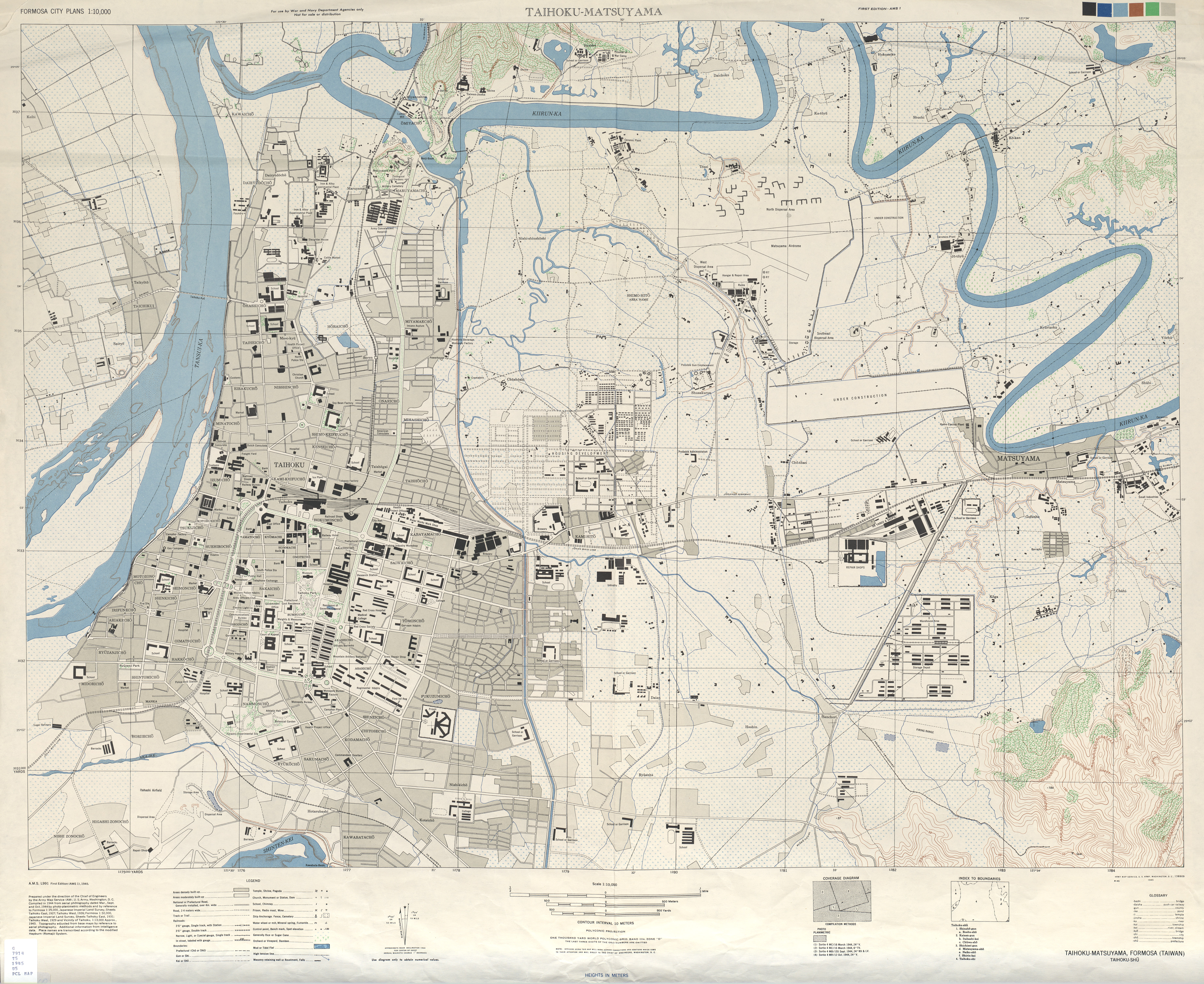
Anyway, the whole thing is slightly fascinating isn’t it. Ancient canals flowing under the city and all that. Would be nice to have a map of the whole thing.[/quote]
Check out reproductions of old maps of the city at SMC Publishing on Wenzhou St. The Japanese-era maps show the canals.
[quote=“Feiren”][quote=“bob”]
Anyway, the whole thing is slightly fascinating isn’t it. Ancient canals flowing under the city and all that. Would be nice to have a map of the whole thing.[/quote]
Check out reproductions of old maps of the city at SMC Publishing on Wenzhou St. The Japanese-era maps show the canals.[/quote]