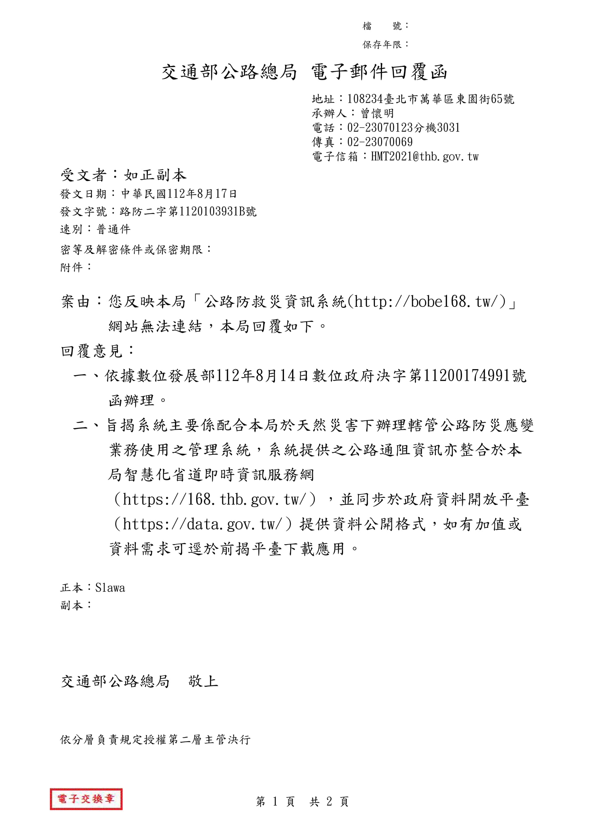
Is this saying to use 公路總局-智慧化省道即時資訊服務網 instead?
Today was one of those rare true summer
Days in San Francisco with temps pushing 30c
A lot of girls were in bikinis at beaches and some were even swimming
Aquatic park certainly had more than the usual polar bears swimming.
It’s 1140pm at home and thank God we have an electric fan I brought with me from when we lived in Martinez because this house like most SF houses has no AC and it’s 27c indoors
Day off and buddy and I went riding the ten miles over the GG bridge to Sausalito
Super nice ride today gorgeous scenery in the sun.
Didn’t have to wear anything more than shorts and a t shirt
The bridge was packed and going forward bike traffic should be always on the west side and people on the east side and not mixed like it is now
It was hectic dodging people and bikes from
The opposite side
None the less 41st avenue north to the park and right to 30th then left and dismount and walk up the steep grade for a few streets then it’s a long downhill all the way until the climb to the bridge starting on el Camino del mar to Lincoln
Small downhill to the base of the bridge then a gradual incline up past mid span then a slight decline to the other end of the bridge then a short slog up the hill then a high speed downhill stretch to Sausalito
Stopped for a beer and croissant at a local French
Bakery then in line for the ferry but we were
Unable to board the 315 to the embarcadero and had to retreat to another cafe until the 420 to pier 39
Nice 30 min cruise then a relaxing mostly flat on Chrissy field then waking the bike up the sharp incline up from Chrissy beach back to the south side of the bridge then another slog uphill to the crest just before China beach where I abandoned the ride and took the 29 bus from China beach back to sunset
Muni buses have two bike racks up in front outside the bus each bus
All In all near 3 hours of a slow steady ride there and back and good fun



The ferry ride for me was free too for some reason the machine failed to read my card
It read it but said No Charge
My bud got charged the 7 dollar 50 with the clipper card it’s like 14 without
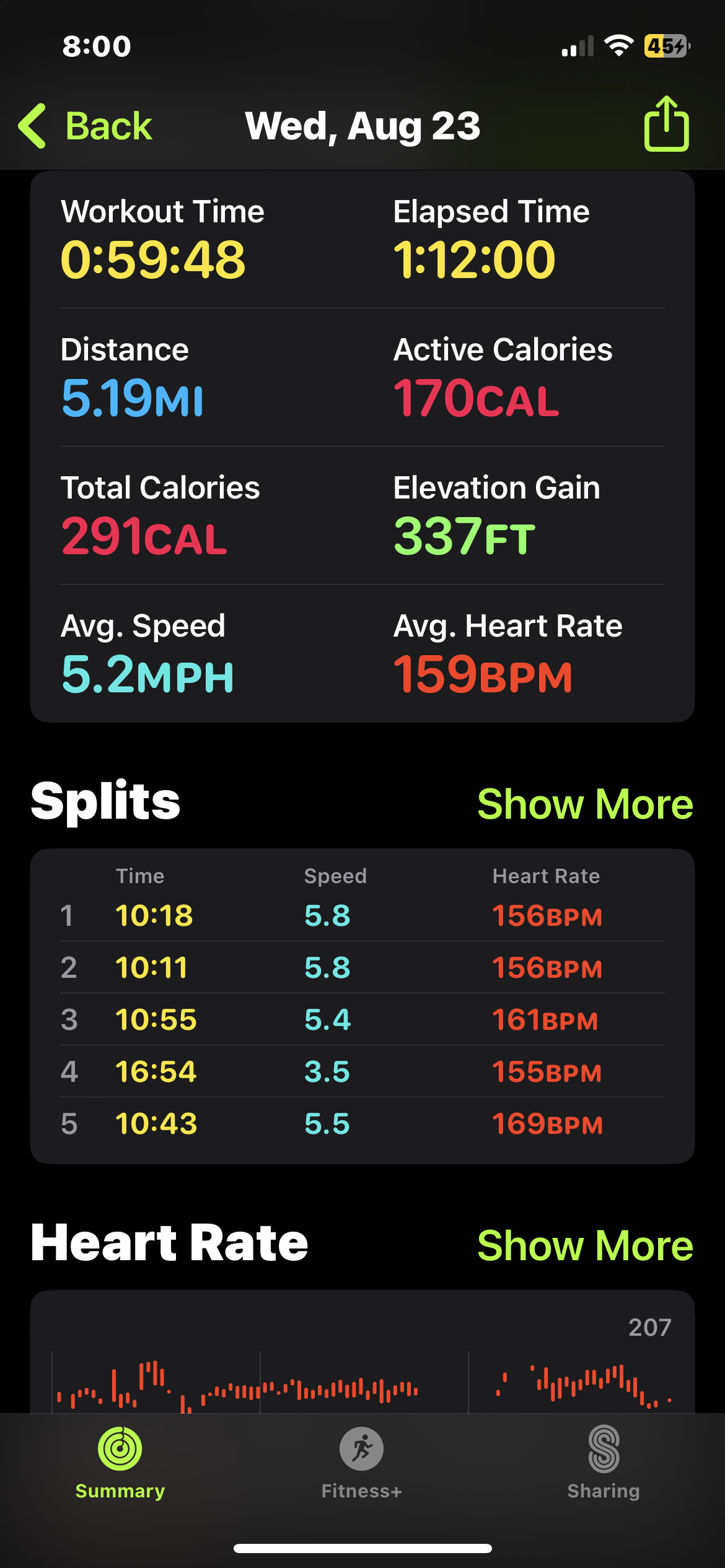
A little concerned my overall average heart rate maxing out at 215 bpm
While buddy’s watch alerted him he hit a peak of 165
I’m ok now but he’s wiped out

Screenshot says average is 159bpm. The max 215 is too high, but it could be a glitch. My rides always have a maximum of 240bpm, usually a spike, but my last ride had a 238bpm plateau for about 4 minutes. I should have died. Most of the time the head unit doesn’t even show the BPM. There’s clearly something broken either in the heart monitor or the head unit, or both.
Yeah it’s probably not that high because I felt totally normal
2 mins later I’m at 77 bpm according to the Apple Watch
North to Bali, then tried to cycle back along Route 50 via Yuanghualun but only got halfway up before noping out. Clearly, I need more practice. But nice to be back on nice, quiet mountain roads with lovely views.

my new bike thing, instead of doing 4 to 6 miles to the GG park and back via the ocean beach and therefore and so forth. Now another thing to do is to put the bike on the 29 bus on sunset and take that to bakers beach (i incorrectly said china beach prior). and then walk up lincoln, the road that hugs the cliff before the GG bridge and then its a fast downhill to chrissy field. Ride the field all the way to fort mason or even to pier 39 and double back and put the bike back on the 29 bus home. This way its not such an exercise that i wouldnt want to repeat it often. This run was bout 4 miles each direction.
Today another wonderful sunshiney and warm day at chrissy field at about 21c, felt more like 30c honestly.
There are so many people out walking themselves and/or their dogs or biking. Lots of eye candy also ! Lots.
And of course past the millionaire homes that face the yacht harbor. Very SoCal Santa Barberish feel/look or was that Santa Monica, one of those, I am not super familiar with the Socal area.
But yes those homes are indeed ones to have on the Marina. probably nicer than up the hill on Pacific Heights (old money SAN FRAN).

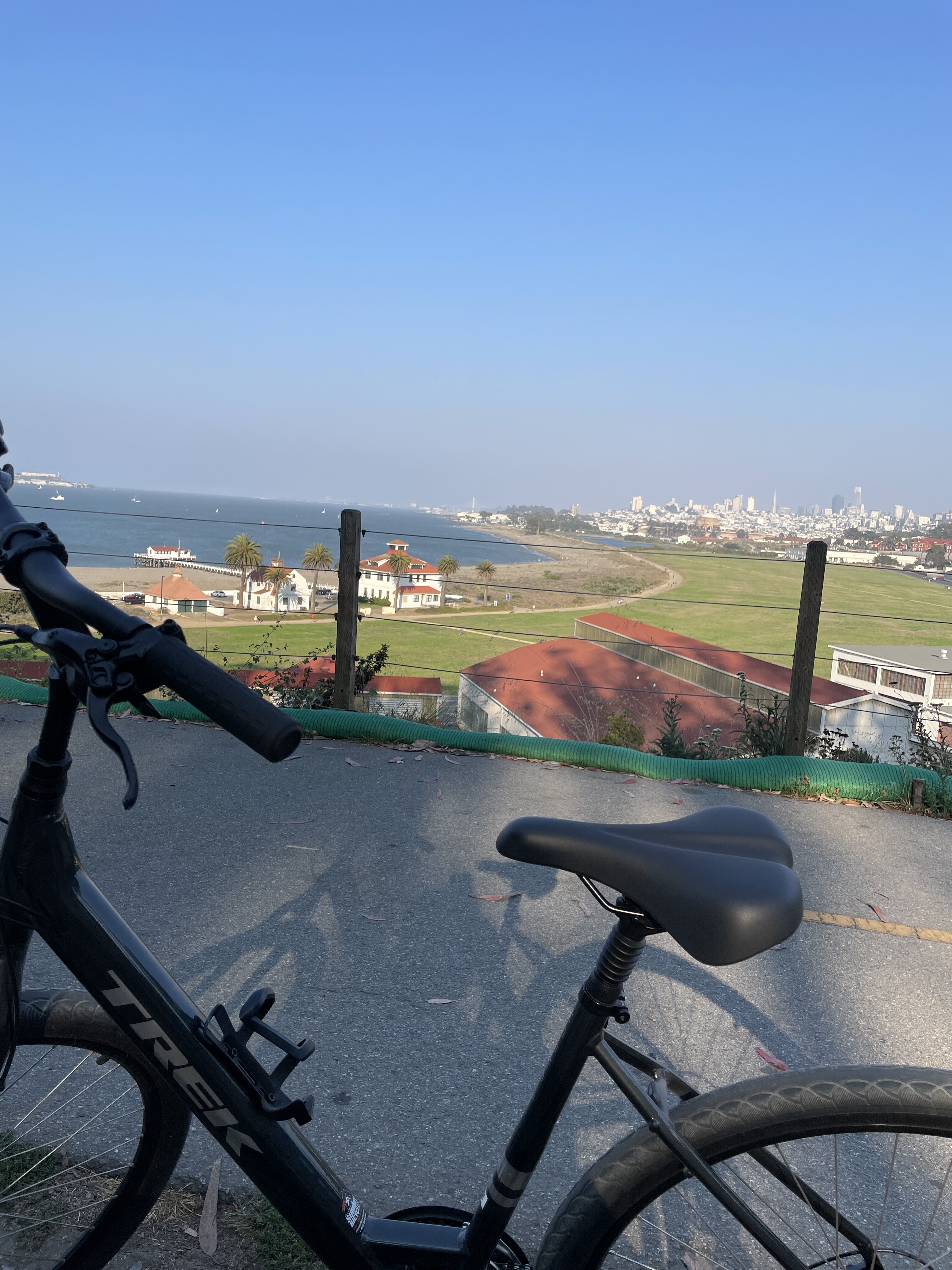
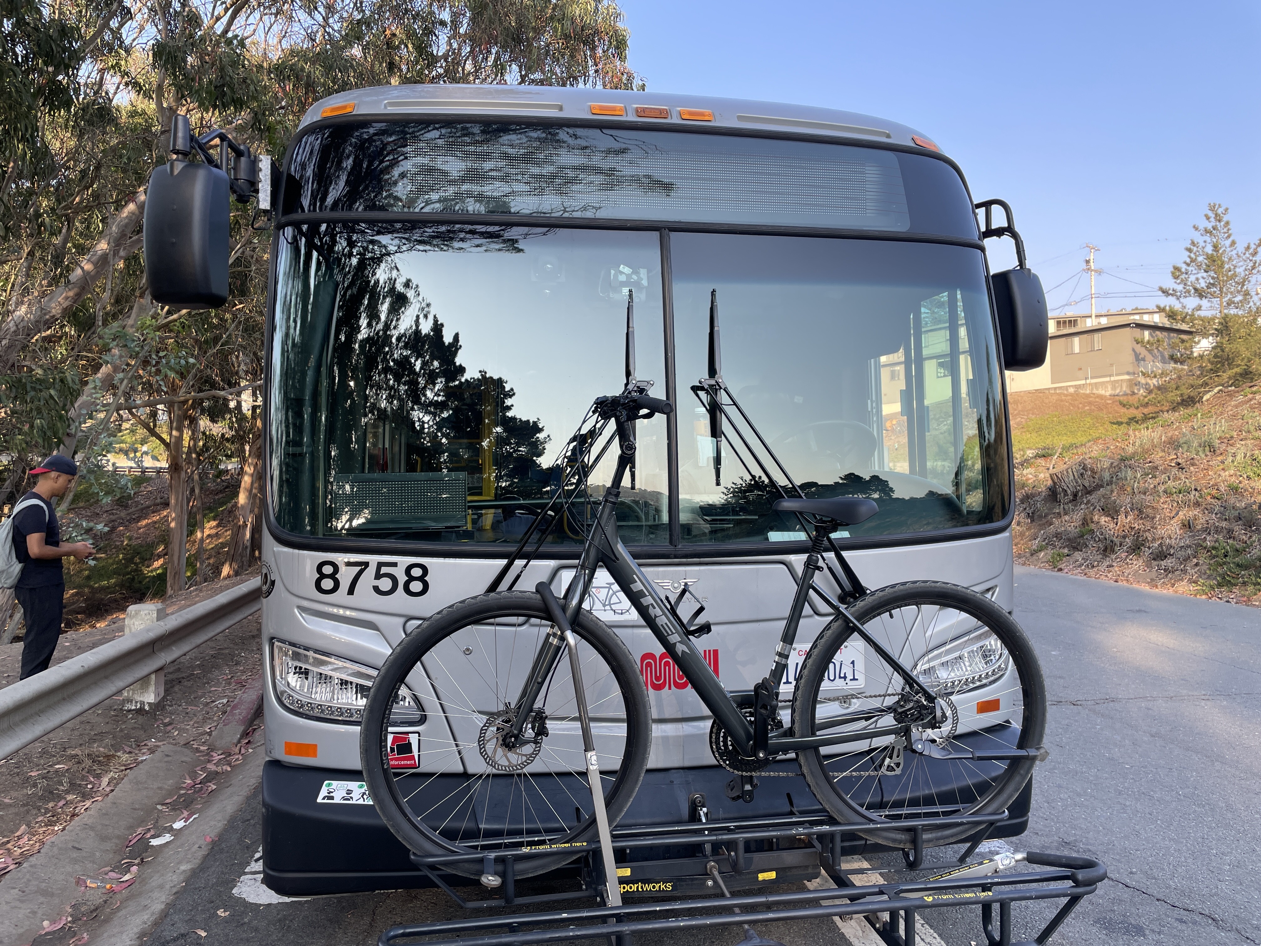


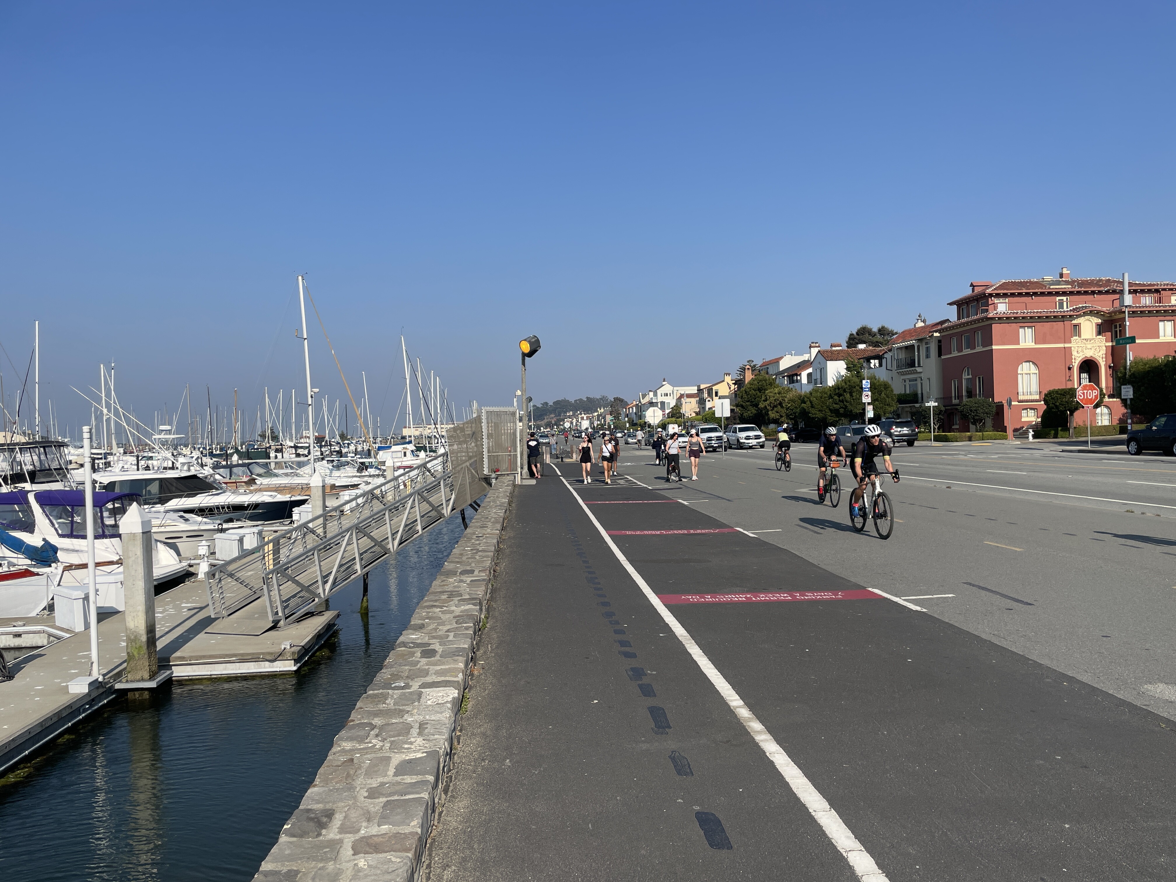
the bike racks on the buses are super easy to use to put your bike up and get back down. and the bus starts at baker beach so you can choose whatever seat you want usually there, it fills up later .
?
Who knows? That’s what Komoot said it was called. Every map app I use seems to have different spellings or versions of the names of the same places.

Need some motivation. Motivate me.
I have a cycle event coming up, I haven’t touched the bike in months. I think I’ve become a bit too comfortable with not challenging myself that I just can’t be arsed.
No pain, no gain, but then there’s never gain, so… 
I have not posted here for a long time, but I rode to work this morning first time in ages due to a back issue and a bunch of things needing me to drive instead. Oh, and typhoons.
It’s a very pleasant 17 km commute. First along a minor road next to the ocean, with lots of sugarcane.

An occasional soba restaurant to show you’re in Japan. With vending machines

Joining the main coastal road half way but the traffic plays nice.


Then along the resort strip Dive shops and tourist restaurants to show you’re in Okinawa

Then turn up the steep back road to campus. It’s actually the access to the missile base on top of the mountain.
Sections of 15% mean it’s almost impossible to stay in Zone 2 or 3 heart rate. Plus hot!

Obligatory hotel golf course. Actually a super hard course. Well maintained, and it should be at the price they charge!

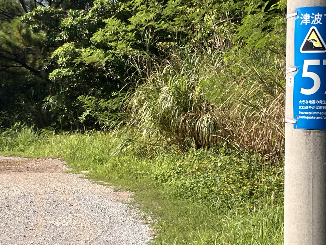
A much better view once the typhoon kills a few trees. Also, tsunami markers for evacuation. These popped up all over Japan after the earthquake of 2011.
More steep climbs but near the top now.

Finally up at the campus and at work. Time for a shower

Nice travel log!
I continue to be impressed by the compact cars in Japan, especially compared to the massive dangerous monster cars and SUVs all over the roads and alleys in Taiwan. Yes I have seen the stats about what happens when these guys hit people.
Guy
Probably 40% of the cars are kei cars. Max of 660cc, 66hp. I’ve had motorcycles with bigger engine! But they zip along just fine. Big tax incentives (road tax and insurance costs about half of a bigger car, and cars over 2 liter tax higher again).
That tsunami meter should say 57 m. Photo taken while riding…. Color changes from red at 0-3 m, yellow from 3 to 20 m, and blue above that. The Tohoku tsunami in 2011 swept up to 20 m up some roads.
Are these dive as in scuba, or dive as in “ooof, Okinawa? That’s a bit of a dive…”?
Scuba. Absolutely amazing coral.
Also many snorkel and other water sports but mostly diving.
Feel like you’d be able to go faster on your bike!
Downhill, yes. On the flat, barely (I can keep up in the draft). Uphill? nope…
The mysteries of facemasked, helmet less cyclists.
I joined a large Facebook group ride today with few friends. Had no clue you are supposed to stop every 5km for 15 minutes of photos. And not of scenery or something like that but of your self. I’ve been doing this wrong all these years….