Camping/Hiking pictures and trip reports 2011

I’ve been busy (outdoors) the last month and thought it would be a good idea to have one place to post pictures and trip reports. Hopefully this will motivate some to get outdoors (yes it’s hot) and lead to some undiscovered gems for others.

I’m less interested in this being a hiking personals thread or a ‘what kind of camping equipment should I buy’. But rather a trip report preferably with pictures of Taiwan’s great places. Logistics, planning and comments are also okay.

Camping/hiking resources:
to be updated later

First up is my trip to the East Coast this week. Wednesday I motorcycled from Kaohsiung and planned on camping at Siaoyeliou but it was closed again (also in April). So I camped at the Duli police station (see thread viewtopic.php?f=55&t=93982). I planned to go to Walami Trail but I couldn’t bypass Sansiantai so I stopped there for a couple of hours. Sansiantai is a fantastic national scenic area on the ocean with a short hike out to the island with the three immortals. It was incredibly hot though and I spent close to an hour rehydrating with a Taiwanese family (bicycling from Taipei to Taidong (home)) while watching some Ami perform (song and dance). These pictures will be uploaded tomorrow when I’ve cleaned the sensor dust spots off of them.

After that I rode to the Nanan visitor center north of Yuli and tried to camp Jiasin on the Walami trail. But it was way overbooked and I ended up dayhiking half of the trail (to the 6.5K mark and back). At least 30 Taiwanese backpackers with relatively large packs were struggling up the hill to Jiasin as I passed them. I should have arrived earlier and I might have been able to stay at the cabins farther up the trail since I’m certain that none of the backpackers were going that far. Overall the Walami trail is the best trail that I’ve hiked in Taiwan so far (Shakadang in Taroko and Yushan are probably the next best). And I could have spent hours taking photos of all the cool little stuff along the trail. But I was in a little bit of a hurry since I had to return to the visitor center by 4:30 to pick up my luggage. I have theft paranoia even outside of the cities. But I did take several pictures of the spectacular Shanfong waterfall. I also stopped at the Nanan waterfall (roadside) a couple of kms after the Nanan visitor center. That night I camped at the LoShan Rec Area Campground near Fuli. It’s free and its facilities offer everything you need (hot showers, toilets, platforms if you want, wash stations, trash/recycling). In the morning I followed the road signs to the nearby LoShan (Rooshan on the signs) Waterfall and it might be the best out of the 3 waterfalls although it’s difficult to get a good view.

Here are the pictures of the waterfalls and campground. Hopefully tomorrow I will post the Sansiantai pictures (unacceptable sensor dust on the photos).


ShanFong waterfall


Nanan waterfall


LoShan waterfall


LoShan Rec Area Campground

'awesome stuff, keep up with the pics and more details.

Here are the pics from Sansiantai (The Three Immortals). It’s about halfway between Taidong and Haulien.

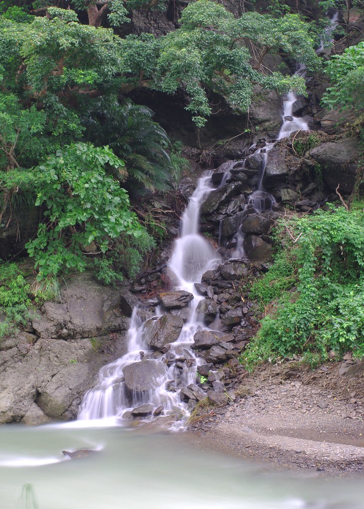
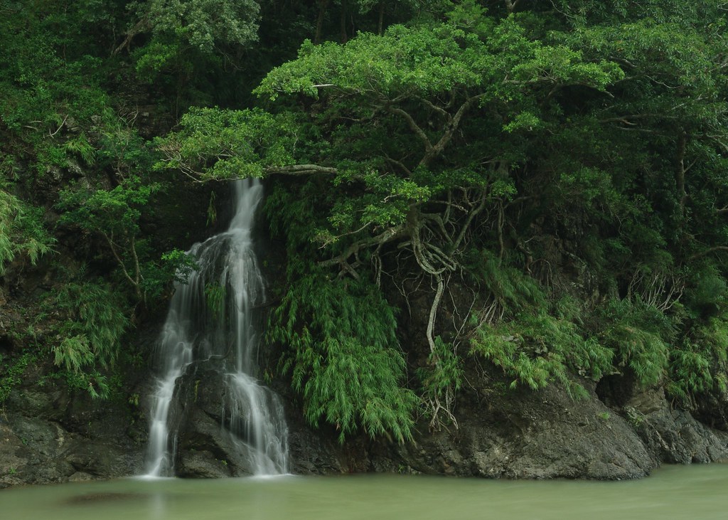
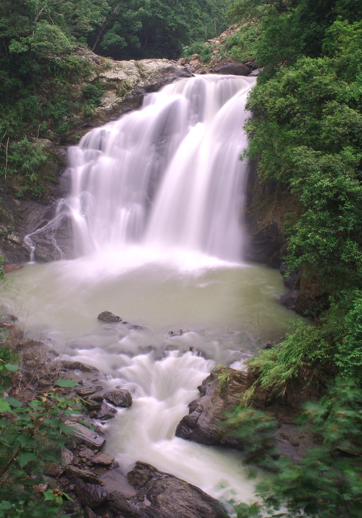
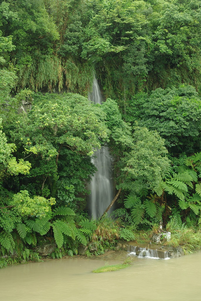
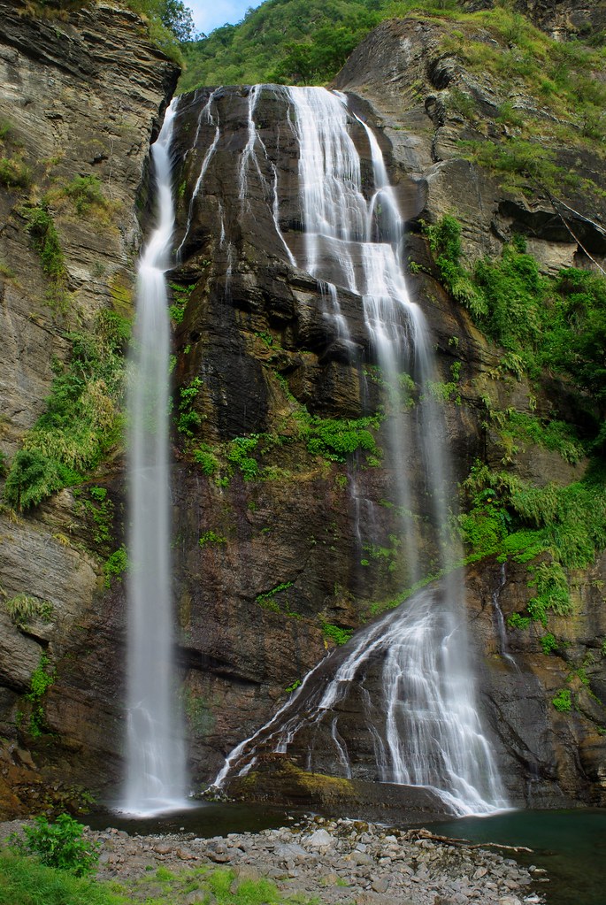
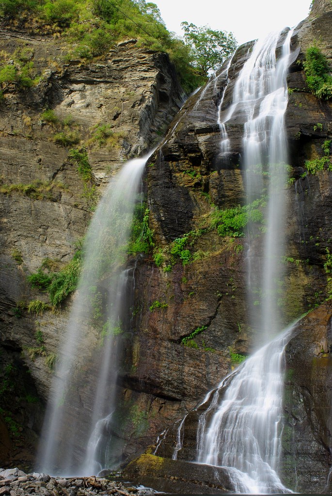
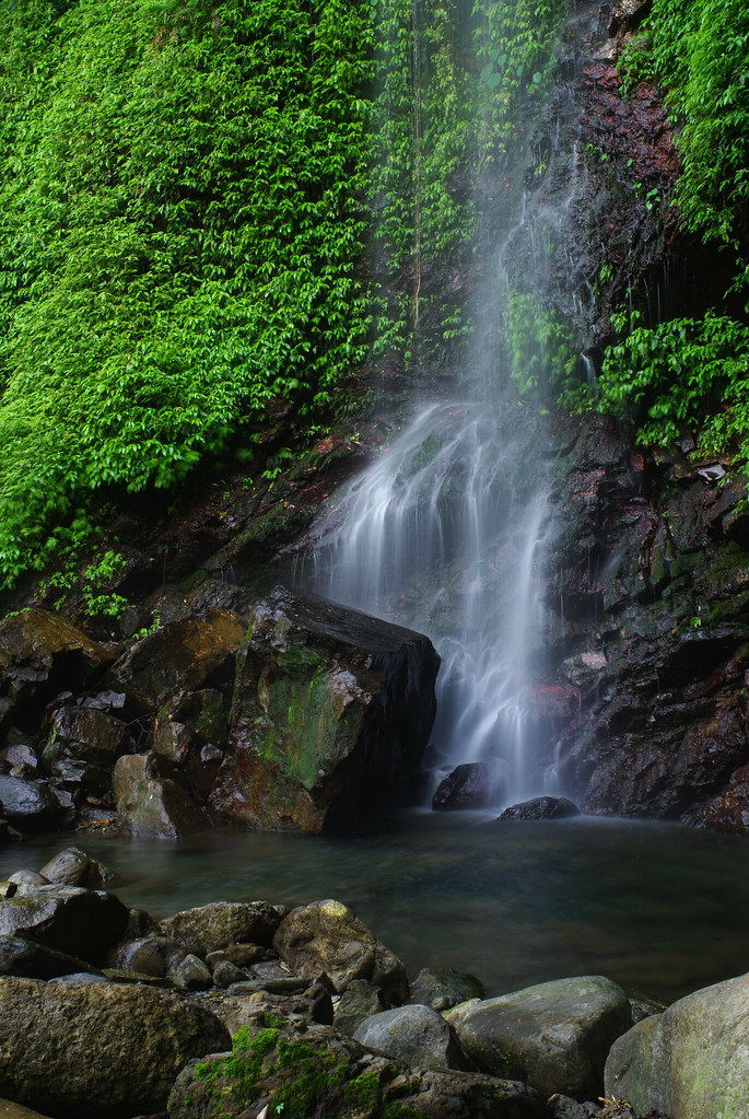
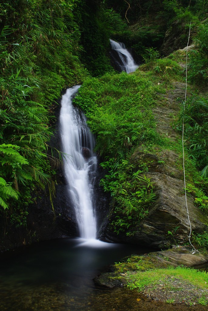
Nice pics there and those waterfalls on the Walami trail are worth the hike, but still in this summer weather it must surely be too hot to stay in those campsites at what must be sea level?

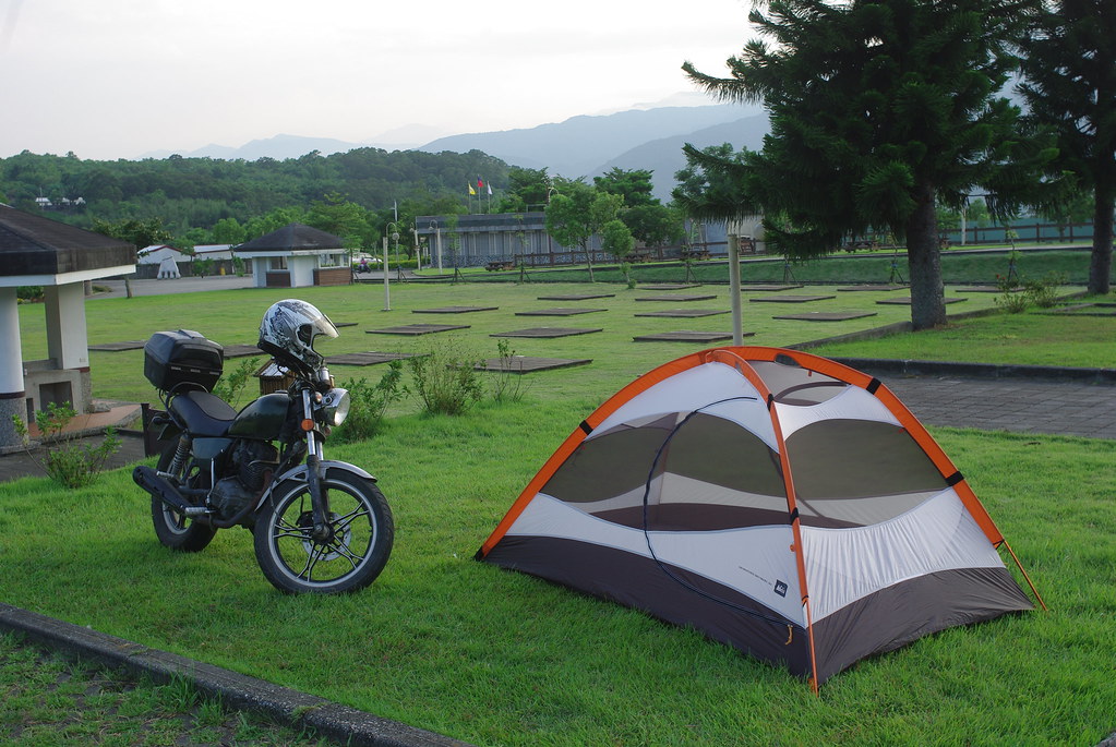
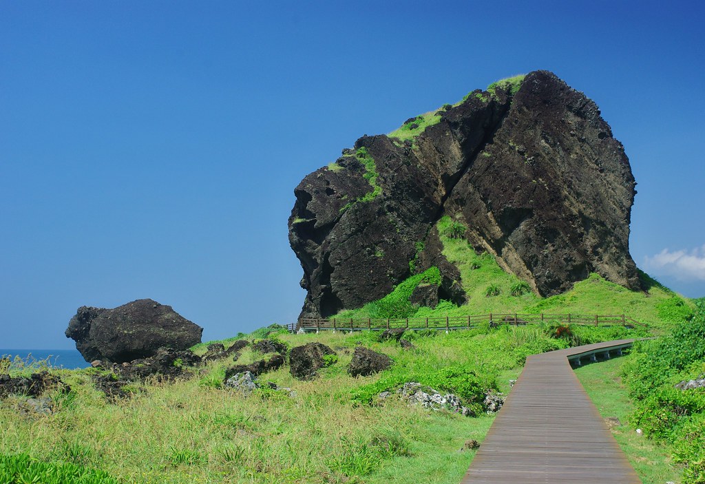
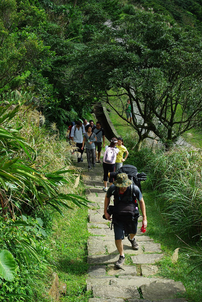
As a kind of example of the opposite side of the scale to road-based camping, I’ll describe a route I did about a month ago from Jiaoxi (in Yilan County) to Shuangxi (in Taipei County). The hike began on a back road directly behind town and that led on to the Paoma Historic trail which enters a steep-sided valley before meeting a road that joins the Bei-I hwy near the highpoint. The path was well-maintained and had some sign boards with botanical information in Chinese and English. Like a lot of the trails in the National Forest Parks, it was quite short and with a gravel covered path that is good for getting blisters. The views back to the coast were fine on this sunny clear day. Due to the excellent forecast, I hadn’t taken my tent but took a thermarest, sarong and mosquito net as my bivouac set up.I’ll do that only when the forecast is sunny and i want to save weight because it’s too hot to carry a big pack or I’m on a trail where i know there is a hut or I’m on a rough trail which at least has some clearings. Depending how well I know the route, I’ll also be carrrying a fair amount of water for the dry stretches or in anticipation of a dry ridge camp.

At the high point of the Bei-I hwy there were some vendors, and some soup and sausage went down very well. One of the benefits of hiking is eating stuff that i wouldn’t normally choose when in town. Although if anyone wants to set up a calzone van on some mountain road, I’ll be there! After that pit stop, I carried on for a few hundred yards and turned right on to a side road that goes about 10 km up to a peak where there is a radar station looking down on TouCheng. Rounding a corner, I saw a barking deer grazing by the roadside. A quick mutual stare and it bounded off into some saw grass and down to a creek. No bark screech like they do when they are further away! About a mile before the station there is a small bunch of tags going down, across a gulley and up to the route called the Bei-I GuDao.The path contours around the radar base mountain before following the ridge proper. On the right far far below is the last village at the end of a road - Wantan. From there it is possible to walk the Wantan stream valley trail that goes down and joins the Beishih at Jiang Jia Chuang. On the left was a sweeping view down the side valley that comes out on the Bei-I Hwy about 7kms up from Pinglin. Up ahead the ridge path joins up with the path system on the BeiShih River side of the ridge- the most famous trail over there is the Ghost Village path.

I set up camp at a clearing on the ridge. I strung up my rope between two trees and hung the net from that. I hung up my sweaty clothes on various branches to dry off in the breeze that after dark blew through the pass. I wore my spare shirt and lay down under the net with the sarong covering me after dinner. I couldn’t sleep for a while because a barking deer was making a racket, so I got up and did a night patrol looking at moths with my flashlight.

It was actually quite cool at an elevation of 800 meters, so I felt quite refreshed the next day when I got up and got an early start going down and joining the ghost path down to its end at a solitary farm where I bought some baochong tea and had a hearty breakfast. The last time I’d been here a few years previously, I saw the elderly owner curled up on the drive and believing him to be dead was about to give him a kick when I noticed his chest rising, so I passed on. We had a laugh about that over breakfast and a refreshing draft of cold tea, then I went on down the road quite a few kilometers to the campsite at Jiang Jia Chuang.

Crossing the river, I now went up the main branch of the BeiShih River where there is a path going along its side for several kilometers. It was a bit hotter here, so I was glad my load was light. After reaching the road head, I turned off on another farm road and after a complicated series of trail junctions through rough country came out at the back end of the valley from ShuangXi where I took a minibus to the train statin. I was looking and smelling pretty rough, so I cleaned up and bought a T-shirt at the 7-11, so I could be admitted on to the train.

That’s the kind of camping I do.

1 Like

awesome. I was swimming in a pool under a 30-40m waterfall yesterday. I look forward to more your pictures, and maybe some type of map (please)?

I took a day trip to Shuangliou Rec Area last Sunday. Obviously the highlight is the large waterfall but due to the recent typhoon there were 5-10 bonus waterfalls.

Shuangliou is on Hwy 9 where it crosses over the mountains from the west coast to the east coast. It takes about 2 hrs to get there on a motorcycle and it’s a relaxing 1.5 hr walk back to the waterfall (3 hrs rd trip). recreation.forest.gov.tw/RA_En_J … _En-01.htm

Awesome! We just landed in Beitou two weeks ago, moved here permanently. Can’t wait to see some of these places! Thanks for posting!! We’ll be checking these out!

I have been planning to do a map with all of the locations but I’m lazy so I’ll do it tomorrow… But most of the places that I’ve been show up in guidebooks with good directions.

Unfortunately I’ve been doing a lot of urban hiking and night photography. And I haven’t visited many waterfalls lately. Maybe this weekend. But ten days ago I was in Taipei and took a trip to Shifen, the Niagara of Taiwan. You take the east coast railroad to Rueifang and then transfer to the pingxi line. It is crowded on the weekends and you might be packed in there like cattle. But it’s still a nice trip. I only saw the main falls and then walked to Duhua (3kms) due to a late arrival and impending rain. But here is a detailed writeup (from MuzhaMan I think) from a few years ago. hikingintaiwan.blogspot.com/2009 … trail.html - note that walking in the railroad tunnels is dangerous but I didn’t see a hiking alternative and the scenery in the area is fantastic.


a small waterfall above Shifen Falls


Above the main falls


Shifen Falls


Shifen Falls


it’s highly likely that I walked thru this at a brisk pace


A train

Wow, I haven’t seen Shifen Falls look that full in years.

I knew it was going to be big but that was a little unexpected. That just gives me another reason to go back and spend more time checking out the other waterfalls in the area.

Yesterday I went to Neishih waterfall. It’s about 70-80 kms south of Kaohsiung. turn left in fangshan at the brown Neishih waterfall sign and then left again in 4-5 kms when the road splits. You will cross under the South Link railroad and at the end of the road (4-5kms from the previous turn) there is a short trail to the waterfall. The road is rough and uncomfortable but easily driveable in a car/motorcycle. The waterfall itself is very impressive and it would be a nice place for a picnic.


this rainbow was unexpected and very cool

Nice fall. How high is it? Hard to get perspective without a person in it?

As for Shifen and others, yeah, if you like falls you have to do the whole Santiaoling Falls waterfall trail.

[quote=“Mucha Man”]Nice fall. How high is it? Hard to get perspective without a person in it?

As for Shifen and others, yeah, if you like falls you have to do the whole Santiaoling Falls waterfall trail.[/quote]

I will throw out a guess of 30-35meters based on a couple of measurements in other photos. I’ll return to Shifen someday but my waterfall list is a mile long. So many…

Lovely spot to spend an afternoon. I’ve done a bit of research on this area and have a couple of lingering questions about hiking possiblities.
Can you access Ayou Waterfall 阿優豐瀑布 from the same trail?
Was there any sign of a path up the left bank of the river?
Are there any trails connecting the Fangshan River to the Jinshueiying Pingdong/Taidong path 浸水營古道?
Do any trains stop at Fangye Station?

Thanks!

[quote=“chung”]Lovely spot to spend an afternoon. I’ve done a bit of research on this area and have a couple of lingering questions about hiking possiblities.
Can you access Ayou Waterfall 阿優豐瀑布 from the same trail?
Was there any sign of a path up the left bank of the river?
Are there any trails connecting the Fangshan River to the Jinshueiying Pingdong/Taidong path 浸水營古道?
Do any trains stop at Fangye Station?

Thanks![/quote]

buzhidao x 4

There was a trail leading away from the falls that I took pictures from. It might go up the cliff and turn back to follow the river but the first couple hundred feet were overgrown and I’m guessing it gets worse as you continue on the trail. This map with geotagged photos (not mine) shows more info. plant.climb.com.tw/modules/media … _Waterfall

are you allowed to camp at 3 immmortals? A beautiful area, especially when there are no tour buses parked in there.

Neishih waterfall, looks great. one of these weekends im going to have to get out there and take a look, i dont think ive seen that one. how long of a trail?

[quote=“Pingdong”]are you allowed to camp at 3 immmortals? A beautiful area, especially when there are no tour buses parked in there.

Neishih waterfall, looks great. one of these weekends im going to have to get out there and take a look, I don’t think ive seen that one. how long of a trail?[/quote]

I don’t think there is any camping at sansiantai. tbh there isn’t much for camping on the hwy 11 other than the police stations. Siaoyeliou has been closed both times I tried to camp there. Jici Beach is closed AFAIK. I think there is camping at Shihtiping but I would recommend driving up to Loshan Rec Area near Fuli (Hwy 9). great facilities and it’s free.

the Neishih trail is short and well maintained. Maybe 15 minutes uphill. the hard part is the 10kms of bumpy road.

Good to know thanks. along hwy 11 near JiCi just south of the camping ground (which looks like a freaking hotel if you ask me) there is a small road towards the coast and a building. its a look out. we camp there when we are tired of driving and too cheap for a hotel. But you always get visitors throughout the night.

I wanted to take a short nap in this pavilion before biking up the big hill but 2 trucks of betelnut chewers stopped and wanted to chat so I pedeled on.

Time for some more photos. I hiked the Caoling trail with stu, Phil and Neil (and many others) from the Taiwan Adventures group last Saturday. Camped at Longmen and then went to Wufengci waterfall the next day. I did have a hiking hangover on Monday but it’s not that bad with buxiban hours. And it looks like this will be a relax and do nothing weekend unless the rain stops. But I need one of those weekends so that’s alright.


Caoling trail


Central Police University had a talent show at Longmen Campground and a few of us watched the poi show.


Longmen Suspension Bridge at fulong beach


The first of 3 tiers at Wufongci


Photos don’t necessarily do justice to the odor I was projecting at this point. But that’s not an issue until you’re in an enclosed space like a train or HSR.

A lot more photos on my website.

I was really hoping that others would be posting photos and trip reports in this thread.

I stayed in Kaohsiung for the last month it seems but I took a Sunday trip up to Maolin. The area is still recovering from Typhoon Morokat (8/2009) but progress is happening. There is now a new bridge across the main river for permanent access (scooter only or short walk) to Lover’s Gorge Waterfall. From the hiking I’ve done and the pictures I’ve seen this is probably the best waterfall in the Maolin area. First there is a parking lot waterfall but the main waterfall is impressive. It’s also perfect for swimming. The trail needs a little tidying up and the footbridges could use some new planks. I chose to walk above the metal beams. I had a little extra time so I picked a few of the little roads and ended up at the DeenGorge guesthouse. And they have their own nearby waterfall. They are open for business but tourism is still very low in Maolin. Currently there is only a temporary bridge connecting them to the main road but they expect a new bridge to be built next year. They also talked about talking to a certain lonely planet author several years ago. 2500NT/night for cabins and 200/person/night for camping. The son (spoke good English) also gave me directions to a waterfall that I hadn’t heard of so I’ll be headed back sometime in the next 1-2 months. DeenGorge Guesthouse - 5658.com.tw/6801540 and tel 07-6801540


the new bridge to Lover’s Gorge Waterfall


the bottom of the Lover’s Gorge parking lot waterfall


Lover’s Gorge Waterfall


DeenGorge Waterfall lower tier


DeenGorge Waterfall upper tier


DeenGorge Guesthouse