By Keelung, it’s referring to the area just within the Keelung city limit next to Xizhi. There’s no dedicated bikeway leading to the harbor.
2 Likes
My current schedule doesn’t quite allow me to have too much free time.
Anyone is welcome to organize the rides!
2 Likes
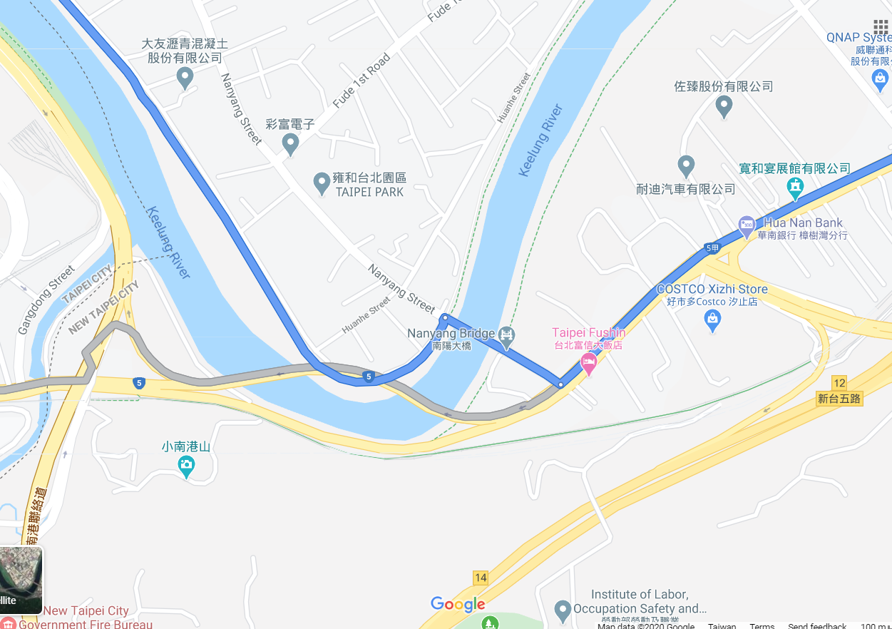
Yes, so now you no longer have to cross any bridges and can just stay on the left bank (lower part of your map) going all the way into Keelung, assuming you’re starting in Taipei city. BTW, the left and right banks are determined by the left and right sides as you face downstream.
Edit: the left bank is the LOWER part of that map.
1 Like
Oof, this is doing my head in … but the Keelung River goes downstream to Taipei, so you’re going upstream to get to Keelung. So if you’re on the left bank, doesn’t that mean you should be on the “bottom” of the river in the map snapshot above?
1 Like
I think this is exactly right. This is where I usually cross from the left bank to the right bank to get into Taipei. Going in the left direction is going toward Taipei.
My bad. I totally misread that map. Yes, the left bank, the Taipei City side, is on the bottom of that snapshot. I mistook the freeway to be Freeway 1 when it’s in fact Freeway 3. 
1 Like
I think they’re intended to be kitsch.
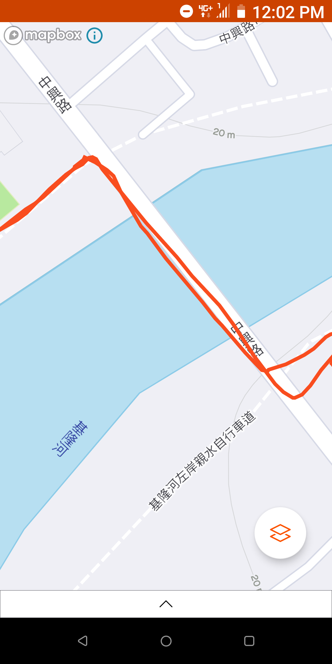
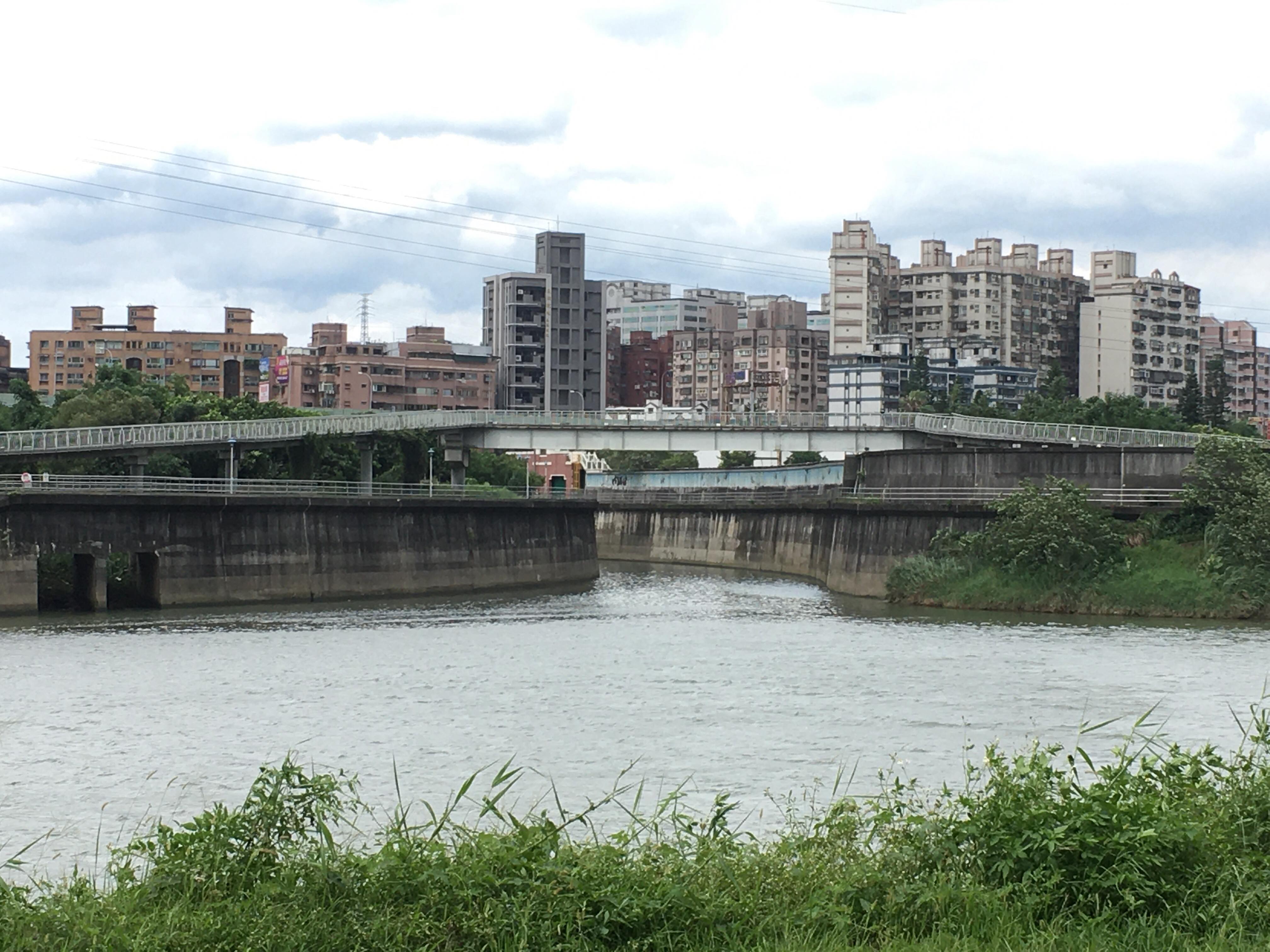
This is NOT TRUE! I took a ride out there today along the left bank, expecting to ride into Keelung unobstructed. As I rounded the bulge near Nangang Exhibition Center, I came to this:
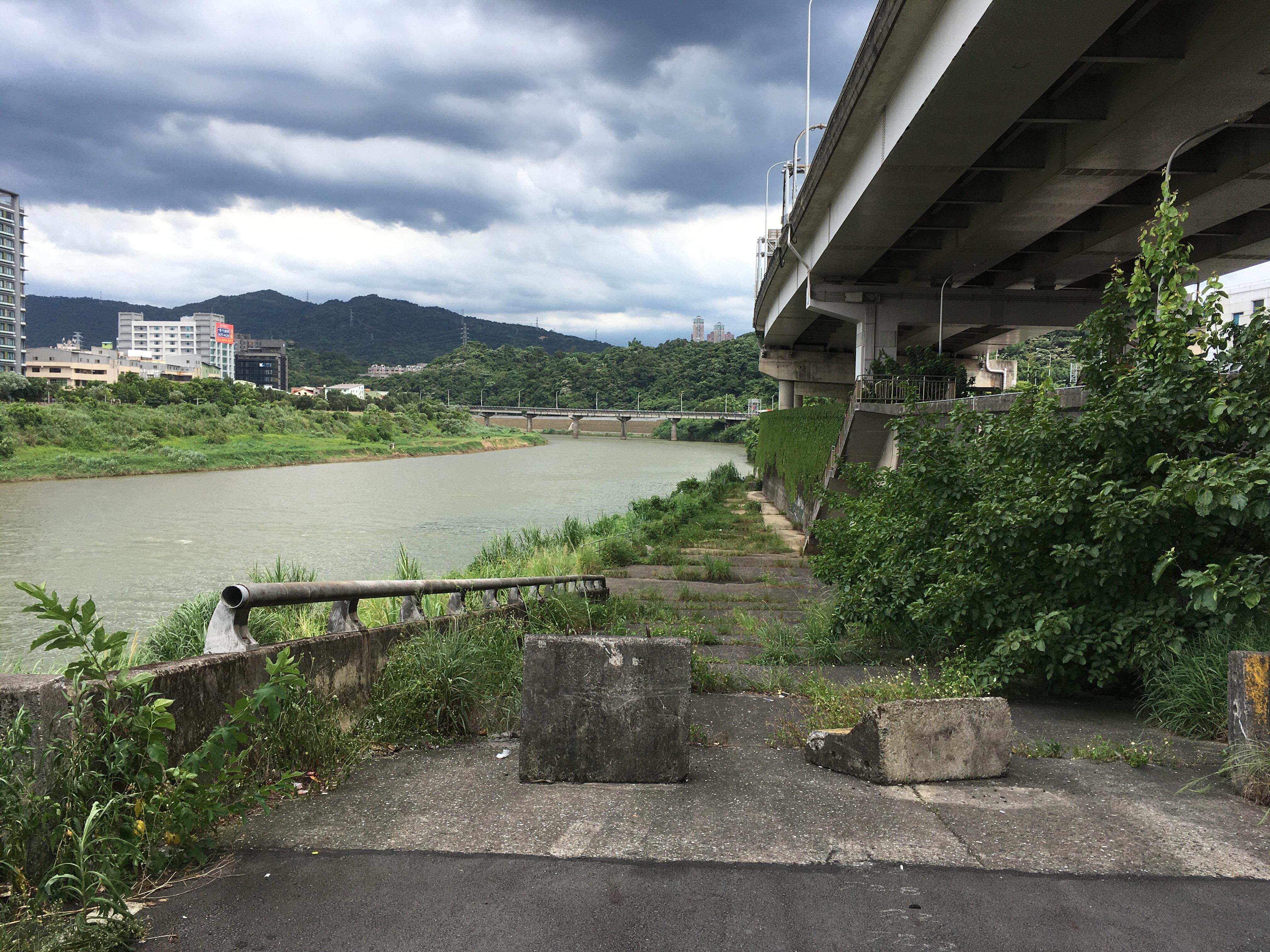
So just to make sure this new path is not hidden from view, I went through the floodgate and continued in the same direction on the other side of the flood wall. I soon arrived at a tributary of Keelung river. There is no bridge, bike or otherwise. The report is false. The new bikeway is further upstream, but in order to get there, you’d have to ride on city roads, not on the riverside bike path. If you want to take the riverside bike path to Keelung, you’d still have to start at the right bank. ![]()
5 Likes
I took the path. I think this is what they’re talking about.
But I went along the right side of the river from Taipei to Xizhi.
Again, I don’t get their mentality. It’s 2020. Is it really sooo hard for them to put up a map highlighting what was constructed?
1 Like
I cycled there 3 weeks ago path still in constrution, right side of Keelung river from Taipei
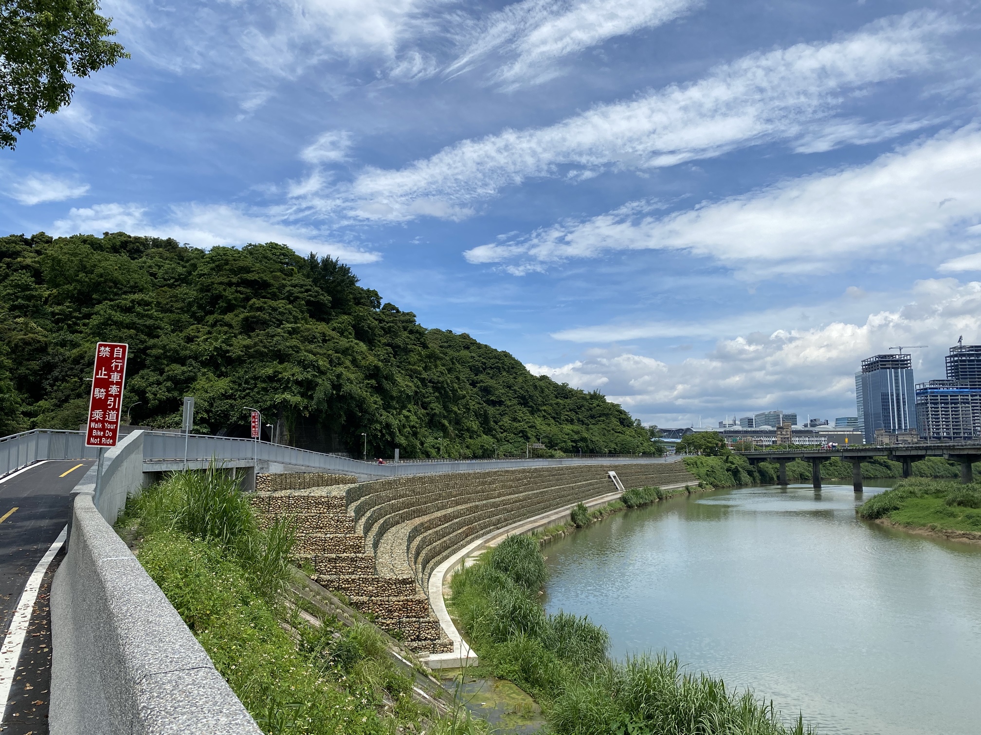
Well, in this case, if they put up a map, they’d be shooting themselves in the foot, as it would clearly show that there’s another river that cuts off the left bank preventing you from riding continuously upstream. What they need is a bike bridge like this:
This is the opposite bank where there’s also a tributary. That’s called continuous riding along the riverbank.
They could always just rebrand it as the “non-stop Taipei–Keelung triathlon route”… ![]()
![]()
![]()
10 Likes
I also have not found a clear route without going onto roads, at least not on the right side riding from Taipei towards Keelung.
Even the thought of swimming in the Keelung River makes me a bit queasy.
3 Likes
It’s probably good for the immune system* though.
*For the survivors.
4 Likes
And then there’s this guy braving the Guandu section of the river. That’s way downstream from where we’re talking about. 
1 Like
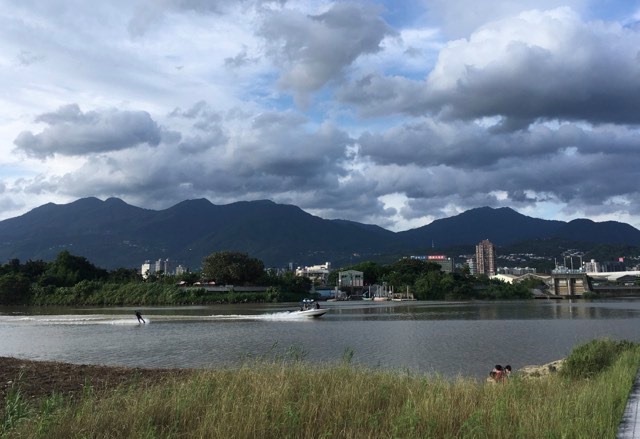
Wakeboard places nearby.
Where is this picture taken from?
Here’s a nice compilation of bike routes in northern Taiwan. Looks like all the riverside bike paths are covered.